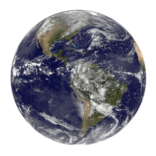

Remote sensing is the process of using technology, such as satellites or aircraft, to collect data about the earth’s surface and atmosphere from a distance.
This data can be used for a variety of purposes, including mapping, monitoring the environment, and identifying and analyzing land use and land cover. Remote sensing can be used in fields such as agriculture, forestry, geology, and meteorology.


